Ortakoy sits on the Bosphorus at the foot of the first bridge — the buses along the shore, the ferries at the nearby piers, the water routes of the strait at the door — which makes getting there easy from every part of the city. From the airports, the old city, the Asian side, and the districts of the European shore, the routes are simple, fast, and cheap, and the village’s square is the destination of every approach. This guide covers every route into Ortakoy — the airports, the old city, the Asian side, and the connections beyond — with the lines, the times, and the tricks of each.
From Istanbul Airport (IST): The Metro and the Bus
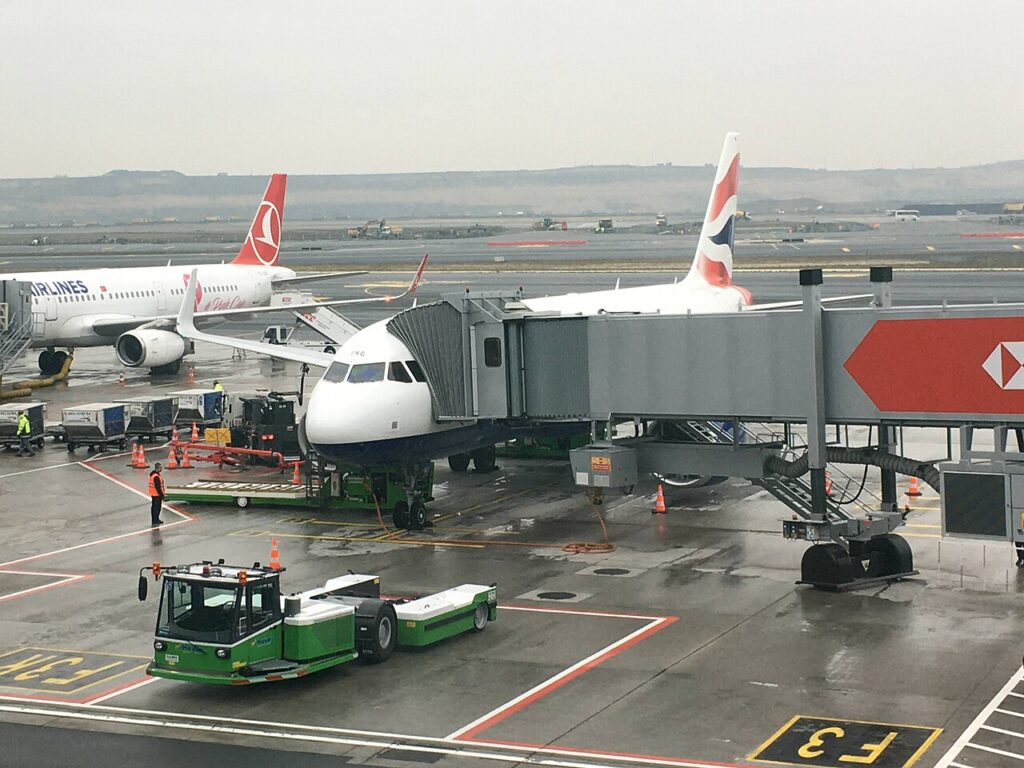
The main airport of the city connects to Ortakoy by public transport in about an hour. The route: the M11 metro from the airport to the city, the connections to the European side, and the buses along the Bosphorus shore to the village’s square. The route is one card and three or four legs, and the last leg — the bus along the water with the strait in the window — is the arrival worth having. The alternatives: the HAVAIST shuttle runs from the airport to the city’s hubs, with the bus or a short taxi covering the last stretch; the taxi is the door-to-door option, forty minutes to an hour depending on the traffic, at the city’s higher prices. For most travelers, the metro and the bus are the answer — cheap, reliable, and immune to the traffic.
From Sabiha Gökçen (SAW): The Crossing Route
The city’s second airport, on the Asian side, connects to Ortakoy by public transport in about an hour and a half. The route: the M4 metro from the airport to the Asian side’s main transfer, the Marmaray under the Bosphorus to the European side, and the buses onward to the shore and the village. The route is longer than the IST route but scenic: the underwater crossing of the Marmaray, the two sides of the city connected in minutes. The alternative is the ferry: the connections from the Asian side to the piers near the village, the crossing of the strait as the final approach — the arrival with the village’s postcard ahead. The Sabiha route rewards the traveler with the crossings, and the time passes quickly.

From the Old City: The Buses and the Shore
The old city — Sultanahmet, the monuments of the peninsula — connects to Ortakoy by the buses from the main stops, and the ride is the shore’s classic approach: about forty minutes through the city to the Bosphorus, with the water appearing in the window. The buses run frequently through the day, and the Istanbulkart covers them at the price of a metro ride. The alternative is the water route: the ferry or the combination of the transport to the Golden Horn’s mouth and the bus along the shore. The choice is the traveler’s — the bus for the directness, the water for the views. Either way, the old city and the village are the same city’s two faces, joined by the buses and the strait.
From the Asian Side: The Ferry Across the Strait
The Asian side — Kadıköy, Üsküdar, the life of the eastern shore — connects to Ortakoy by the ferries across the Bosphorus, and the crossing is the best ride in the city. The ferries cross the strait in about twenty minutes: the gulls and the spray, the skyline of both shores, the village’s mosque and bridge rising ahead — the postcard approaching across the water. The piers near the village receive the crossings through the day, and the card covers the ride at the price of a metro ticket. For the traveler coming from the Asian side, the ferry is the way to arrive — the crossing that makes the trip, and the arrival with the village’s famous view ahead.

From the Bosphorus Districts: The Shore Route
The districts of the European shore — Beşiktaş, Kuruçeşme, the quarters along the strait — connect to Ortakoy by the buses and the walking along the shore. The buses run the shore route between the districts and the village’s square. And the walk along the Bosphorus — the waterfront path from the neighboring quarters, the strait beside the walker, the village’s mosque appearing ahead — is the scenic approach, about half an hour from Beşiktaş. The Bosphorus districts and the village are the same shore, and the routes between them are the road and the water.
The Village’s Own Transport: The Local Network
Once in Ortakoy, the village’s own network takes over. The buses run through the village and along the shore — the connections to the districts and the old city. The ferries cross from the nearby piers — the rides to the Asian side and the Bosphorus routes. The walking is the village’s real transport: the square, the shore, and the back streets are the village’s scale, and the walker covers it completely. And the Bosphorus cruise — the ferry that runs the length of the strait — passes the village in its route, the rides of the water at the door. The Istanbulkart covers the whole network — one card, every mode, the village at the traveler’s feet.
The Practical Notes
A few things make the routes smooth. The Istanbulkart is the first purchase: buy it at any station, load it once, and it covers the buses, the ferries, the metros, and the trams — the whole city on one card, at a fraction of the taxi price. The buses are the village’s gate: the routes along the shore run to the square — learn the stops and the village is yours. The ferries are the views: the crossings from the piers give the postcard approach — take the water when the time allows. The traffic is the enemy: the taxis sit in the city’s traffic while the buses and the rail run their lanes — for the speed and the price, the public transport wins. And the water is the destination’s own: the village is a Bosphorus place, and the approaches by the water — the ferry, the bus along the shore — are the arrivals that match the postcard.
The Taxi and Ride-Hailing Option
For most visitors, the public transport routes above are the best way to reach Ortaköy, but taxis and ride-hailing apps have their place. If you are traveling with luggage, in a hurry, or after midnight when the buses thin out, a car is the sensible choice. The ride from Taksim takes about ten minutes in light traffic and costs a fraction of what you might expect, though the meter can climb painfully during rush hour — the coastal road between Beşiktaş and Ortaköy is one of Istanbul’s slowest stretches at peak times.
Use a ride-hailing app rather than hailing a cab on the street. The apps show the fare before you confirm, accept cards, and avoid the negotiation that sometimes accompanies street taxis. In Ortaköy itself, the square is pedestrian-friendly but the surrounding streets are narrow and often jammed on weekends, so ask your driver to drop you at the edge of the village and walk the last few hundred meters.
The most scenic option of all is a taxi-boat, one of the small water taxis that cross the Bosphorus on demand. From the Asian side, a water taxi to Ortaköy takes minutes and delivers you directly to the ferry landing, with the bridge towering overhead. It costs more than the ferry but far less than you might imagine, and the ride itself is a highlight of the trip.

The Takeaway
Getting to Ortakoy is the Bosphorus journey — the bus along the shore from the old city, the ferry across the strait from the Asian side, the metro and the bus from the airports, and the walking along the water from the neighboring quarters. The routes are simple, fast, and cheap, and the Istanbulkart covers them all. The village sits at the foot of the bridge, the water at its door — arrive by the bus with the strait in the window or the ferry with the postcard ahead, and the village opens at your feet, the Bosphorus postcard at the end of every approach.
Frequently asked questions
What is the fastest way from Istanbul Airport to Ortakoy?
The metro and the bus — the M11 to the city, the connections to the European side, and the bus along the shore — about an hour, cheap and reliable.
How do I get from the old city?
The buses from the main stops — about forty minutes through the city to the Bosphorus, with the water appearing in the window.
Is the taxi worth it from the airport?
Only for the door-to-door convenience and the heavy luggage — the metro and the bus are cheaper and often faster in the traffic.
How do I get from the Asian side?
The ferry across the strait — the twenty-minute crossing to the piers near the village, the postcard approaching across the water.
Do I need a car in Ortakoy?
No — the buses, the ferries, and the walking cover the village and the city, and the traffic makes the car the slowest option.

All Over Information
The All Over Information editorial team researches and writes practical English-language guides to Turkey. Facts are checked against official and local sources before publication, prices are published as dated ranges rather than quotes, and guides are revised when things change. We accept no sponsored posts, paid placements or paid links.
More guides like this

A Foodie’s Guide to Ortakoy
Ortakoy is the Bosphorus village on the plate — the kumpir at the square and the fish at the shore, the tea…

Nightlife Guide to Ortakoy
Ortakoy is not the nightlife district of Istanbul — the clubs and the loud bars belong to the modern quarters — but…

Best Local Restaurants in Ortakoy
Ortakoy eats the village's way — the kumpir at the square and the fish at the shore, the cafes of the back…

Top 10 Things to Do in Ortakoy
Ortakoy is the postcard of the Bosphorus — the waterfront village where the baroque mosque stands beside the great bridge, where the…
Best Time of Year to Visit Ortakoy
Ortakoy is a year-round destination, and each season gives the village a different character.

The Best Day Trips from Ortakoy
Ortakoy sits on the Bosphorus at the foot of the first bridge — the ferries at the nearby piers, the buses along…